Elephant Butte Reservoir at a Historic Low
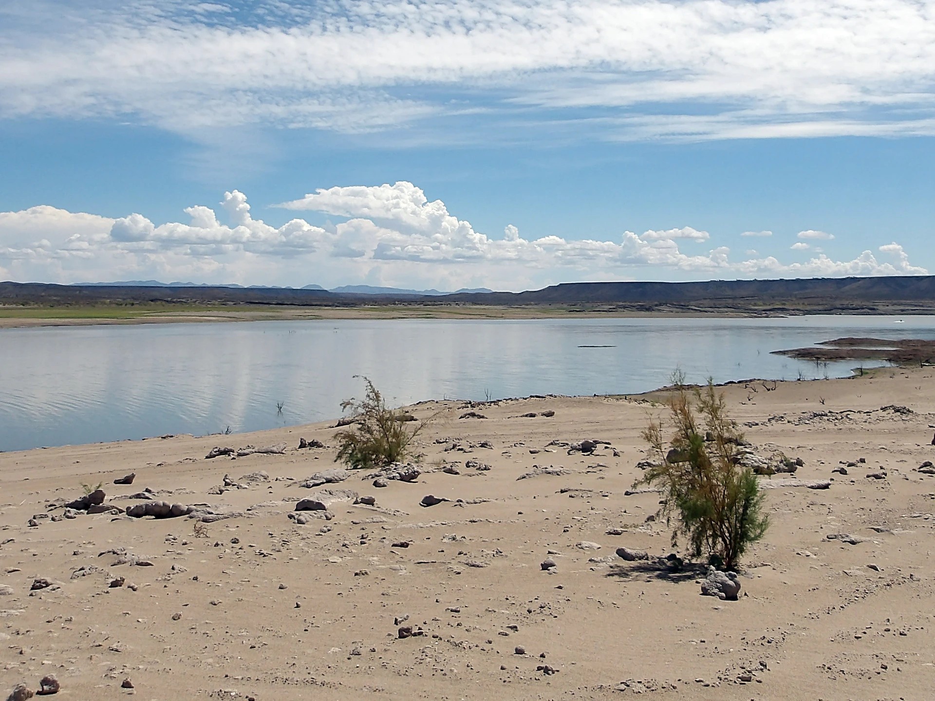
New Mexico's largest reservoir, Elephant Butte Reservoir, fell to just 1.4% of capacity in July 2026 – the lowest level recorded since 1971. Satellite images from the NASA Earth Observatory show a dramatic decline in the Rio Grande reservoir, whose water also supplies agriculture in New Mexico and Texas. Behind the phenomenon lie years of extreme drought and a record-early snowmelt in 2026.
A half-century low
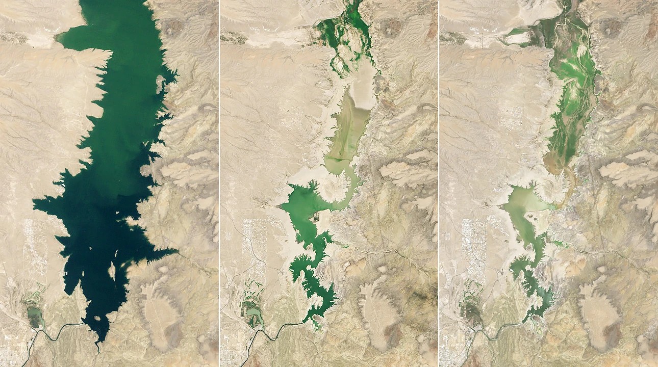
Images from the Landsat 5, Landsat 8 and Landsat 9 satellites clearly illustrate the change: on 2 June 1994 the reservoir was almost completely full, and during an earlier severe drought, on 8 July 2013, it stood at just 2.9% of capacity.
The level recorded on 27 July 2026 – 1.4% – is lower than any previous low and the worst since 1971.
The reservoir is a key part of the Rio Grande basin: in the 1960s, astronaut John Glenn observed from orbit the green strip along the river, made possible in this otherwise arid region by artificial lakes. The region's agriculture – alfalfa, cotton, onions, pecans and the famous Hatch green chile – depends heavily on irrigation water from the reservoir.
In recent years, the Rio Grande basin has been hit by persistent, extreme drought. In 2026 the situation was made worse by the earliest-ever snowmelt in the river's headwaters in the southern Rocky Mountains, which reduced spring and summer inflows.
Releases halted, lakebed exposed
The extreme drop in water level has exposed debris along the shoreline that was previously underwater, and the boat ramps of Elephant Butte Lake State Park are covered in sediment. The reservoir appears, however, to have reached its low point for the year at the end of July: according to local authorities, releases for agriculture stopped after 28 July, so the reservoir may begin to refill slowly.
The prolonged drought also highlights the long-term challenges of water management along the Rio Grande. Communities in New Mexico and Texas alike rely on surface water and groundwater, and allocating and conserving these resources carefully is becoming increasingly difficult.
Satellites on the trail of water scarcity
NASA's Western Water Applications Office (WWAO) supports several projects aimed at informing water management decisions with more accurate data. One has created a near-real-time model combining satellite measurements of soil moisture and evapotranspiration, which complements the water allocation methods currently used by the Elephant Butte Irrigation District.
Another project has combined satellite data on water surface elevation with drone and ground measurements to reveal how groundwater pumping affects the flow of the Rio Grande – information that can help manage water rights. NASA researchers are also taking part in a federal study assessing water demand in the upper Rio Grande and developing data-driven tools that can support a rapid response to future water shortages.
An accurate picture can help survival
Elephant Butte Reservoir's low of 1.4% this year shows how vulnerable the Rio Grande water system is to prolonged drought and early snowmelt. Although the reservoir may start to rise slowly now that agricultural releases have stopped, NASA's satellite observations and models suggest that accurate, near-real-time data will play an increasingly important role in water management in the region.
New Mexico's largest reservoir, Elephant Butte Reservoir, fell to 1.4% of capacity in July 2026, the lowest level since 1971. According to satellite images from NASA's Earth Observatory, the decline is the combined result of persistent drought in the Rio Grande basin and a record-early snowmelt in 2026. The falling water level has exposed previously submerged shorelines and boat ramps. According to local authorities, agricultural releases stopped after 28 July, so the reservoir's level may slowly rise. Several projects of NASA's Western Water Applications Office (WWAO) combine satellite, drone and ground measurements to provide more accurate data for water management decisions and help plan future water supply for communities along the Rio Grande.
New Mexico's largest reservoir, Elephant Butte Reservoir, fell to 1.4% of capacity in July 2026, the lowest level since 1971. Landsat satellite images from the NASA Earth Observatory vividly show the change: on 2 June 1994 the reservoir was almost completely full, and during an earlier severe drought, on 8 July 2013, it reached 2.9%. Behind the current decline lie years of extreme drought in the Rio Grande basin and a record-early snowmelt in 2026, which reduced inflows from the river's headwaters in the southern Rocky Mountains.
The reservoir's water makes farming possible along the Rio Grande in New Mexico and Texas – alfalfa, cotton, onions, pecans and the famous Hatch green chile – so the falling water level poses a serious economic risk. The extreme drop has exposed previously submerged debris, and the boat ramps of Elephant Butte Lake State Park are covered in sediment. According to local authorities, releases for agriculture stopped after 28 July, so the reservoir may begin to refill slowly.
Several projects of NASA's Western Water Applications Office (WWAO) aim to inform future water management decisions: one has built a near-real-time model from satellite data on soil moisture and evapotranspiration, and another has combined water surface elevation measurements with drone and ground observations to reveal the impact of groundwater pumping on river flow. NASA researchers are also taking part in a federal study assessing future water demand and availability in the upper Rio Grande.



A study of 10,826 Chinese treatment plants finds that big centralised systems are reaching two limits at once, on easing water scarcity and on paying their way, and that a hybrid model could do the job for up to 37% less.
FAO has published draft principles on who may use water and on what terms, a quiet piece of international work that speaks directly to this year's fights over drought, wells and free irrigation.

A new report projects data centres' water footprint reaching 9.32 trillion litres by 2030, but the number is only meaningful once you know what it counts, and who is making the case.
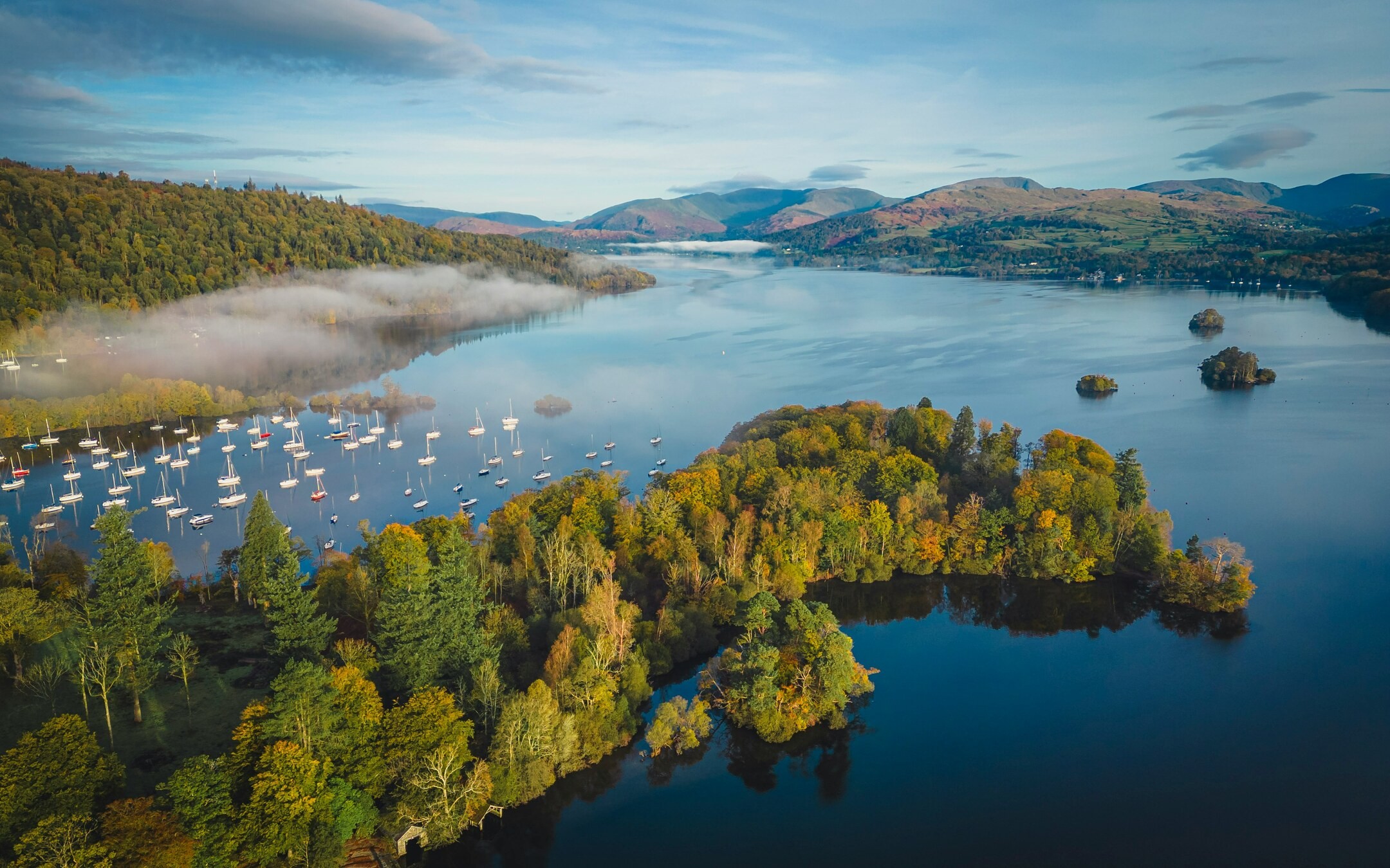
An English coalition has costed what it would take to keep every drop of wastewater out of England's largest lake, £3.6–3.7 billion, and its modelling says nothing less ends harmful algal blooms.